Before we reached the starting point, we stopped for a few minutes at Moorook – just on sunrise.
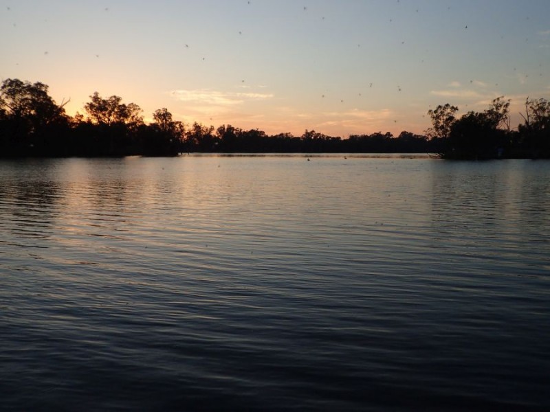
We kept right on going for a further 10 minutes (make a note of that time) and arrived at our starting point for the day and started getting ourselves organized for another day on the river.
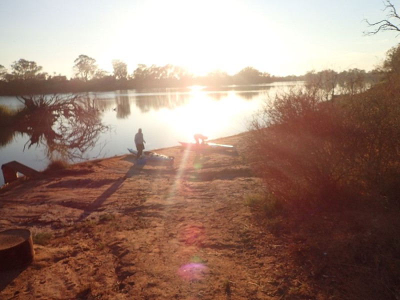
It didn’t take too long and we hit the water just before 8am with the temperature in the low 20’s again and the wind at our back – which is both a blessing and a curse!
Again, this is a section of the river I have paddled a few times now, and can only really remember a few very small details about it. It is pretty amazing when doing a marathon, you seem to focus on catching the person in front and not so much about the journey.
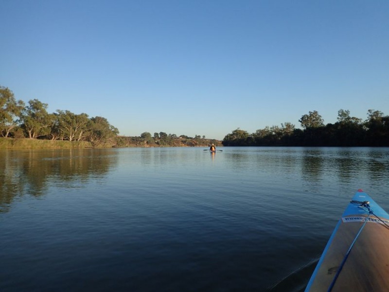
Yes, can’t believe it – 5 days in a row we hae perfect conditions for being on the river and paddling.
Not long after we left I spotted another first for me
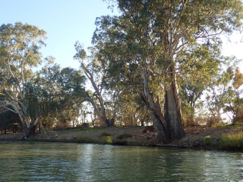
This is a Canoe tree. A canoe tree is one where the Aborignals carved out a section of the living tree bark and turned it into a boat. The tree keeps growing and you end up with the distinctive “canoe” on the side of the tree.
Most of today is fairly flat country – compared to the leg into Loxton, the river slowly widens and slows.
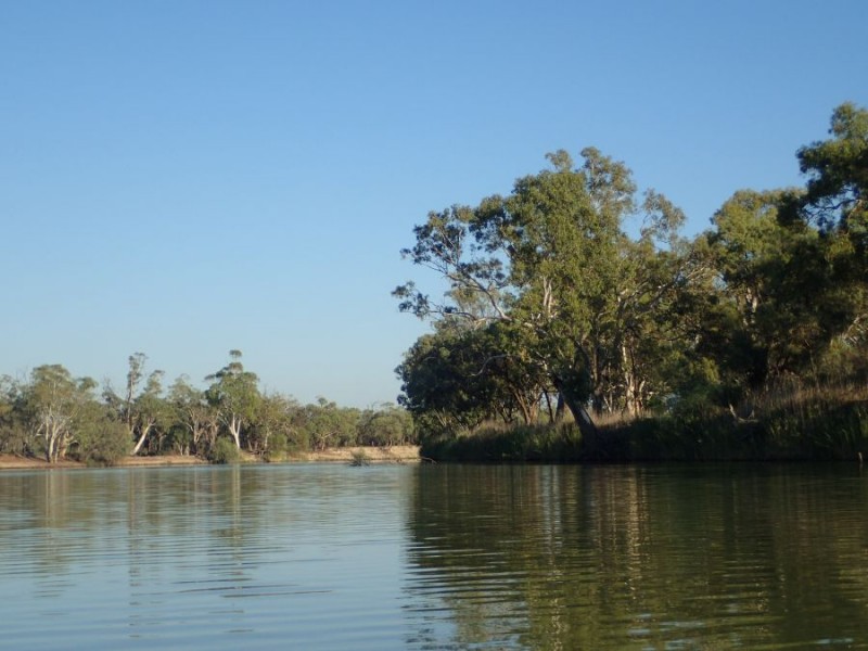
For the first part of the day, we did wander around a few gentle bends, and again, spotted the odd Kangaroo and Wallaby drinking from the river.
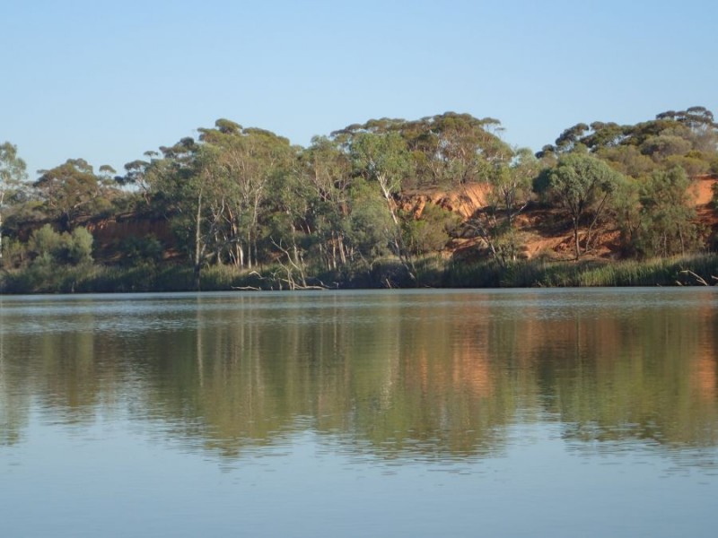
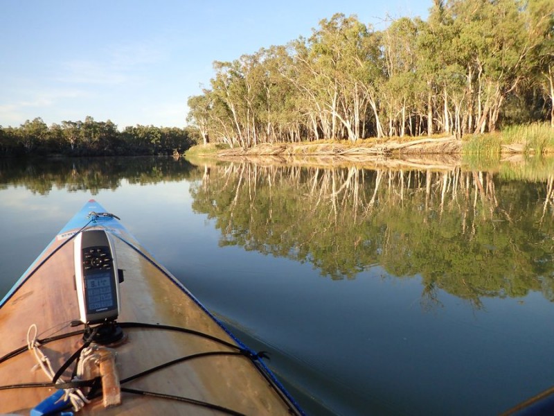
Just past Gerard, an Aboriginal Community that sits on the side of the river was our first sign of a hill and the oranges we have seen a fair bit of to date. As you can see, it was still fairly still and really quite nice on the water.
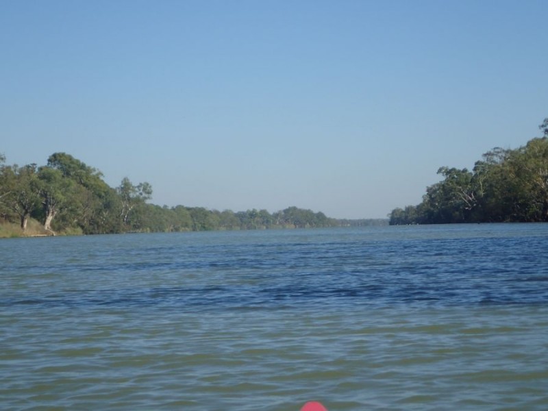
After we passed 466, just before the right hand bend we take at the entrance to Pyap Lagoon we are face to face with the 7 Mile reach! At this stage we have just paddled about 16 km from Pyap, only to end up at Pyap Lagoon!
Yeah, the river is wide, the land is predominately flat and it just seems to go on and on and on and on and on! But at least we had the wind to our back and it had picked up to around 15km/h. Blessing as we were being pushed along, curse, because that wind was on our back and not cooling us!
About 4km into this long almost straight stretch we had a quick stop at New Residence where we could meet our land crew, before heading back off to Moorook. New Residence down to Moorook is a further 10km, and basically at the end of the 7 mile reach (give or take). We arrived back at Moorook at around 11:45am – and yes, that was just over 3 1/2 hours of paddling for what it took us to drive those 10 minutes in the morning!
In this section, being a weekend, we started to see a few more people out enjoying the river – a handful of ski boats which we had around for the rest of the day. Didn’t have too many issues, but just had to deal with a bit of wash from them.
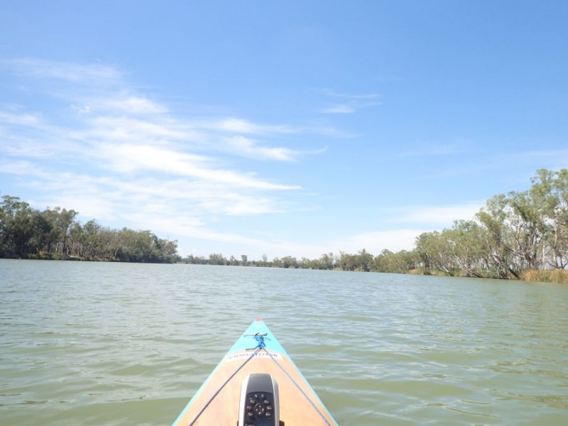
Back underway after lunch with the temperature now in the low to mid 30’s we had similar flat country, but now with a few bends.
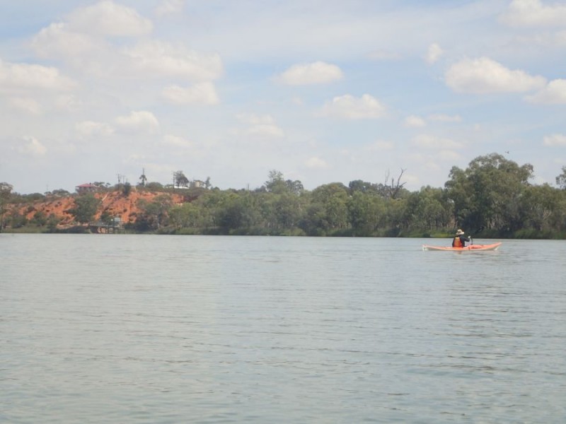
When we came around a bend and I spotted the first bit of colour since we had turned into the 7 Mile Straight before lunch. Now this is a feature that I remember, it is the cliff where we turn right at and head under the Sturt Highway at Kingston on Murray.
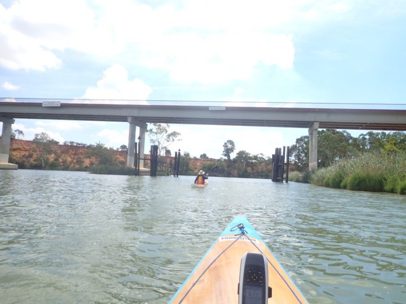
Interesting Trivia – In this area of the river it is over 70 feet deep – and probably the deepest part of the Murray river – well apart from the Hume dam!
We only did a further 4 km and just after we passed the 436 Marker we pulled into the Kingston on Murray boat ramp and called it a day with about 45km for the day.
Again, we made the decision to end the day here – even though Lock 3 is only 4km downstream, then the next river access is a further 6km beyond that – the drive around is about 40km and decided to call it a day.
So, after 5 days, we have now paddled in 3 States, passed thru 3 locks, passed under 3 bridges and past 1 Ferry. We have seen quite a bit of ever-changing scenery, taken the time to enjoy the scenery of parts we have paddled already and are around 1/3 the way from our start to the sea.

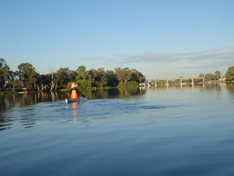


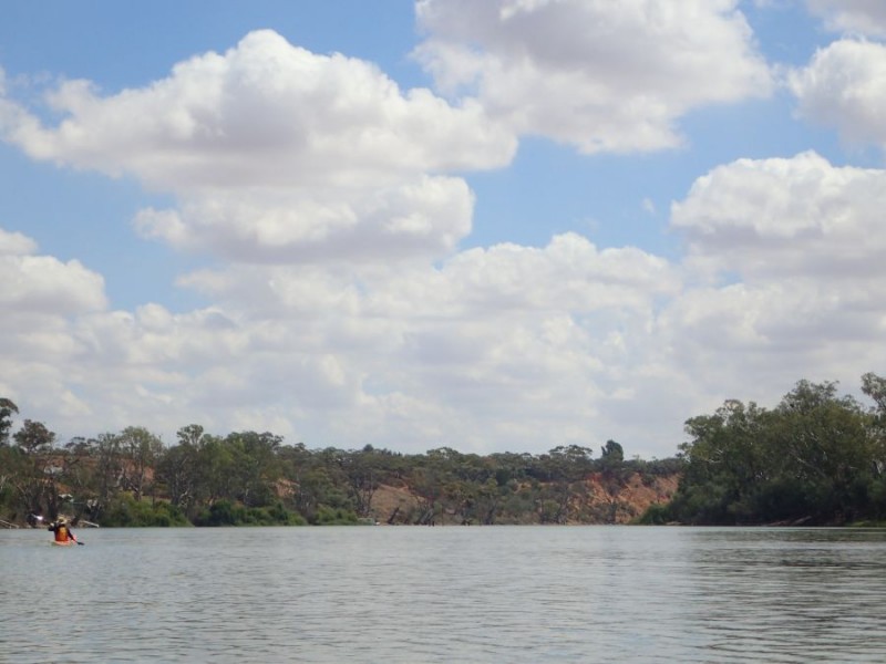




 We stopped just passed the ferry and met our land crew for a 10 minute snack and a cold drink and were surprised to note that the temperature had not changed since we started – it was still about 30 C


