Day 13 – part 1

Unlike my other posts – there is not a lot of photo’s – not a lot to see in the middle of the night in the middle of a lake!

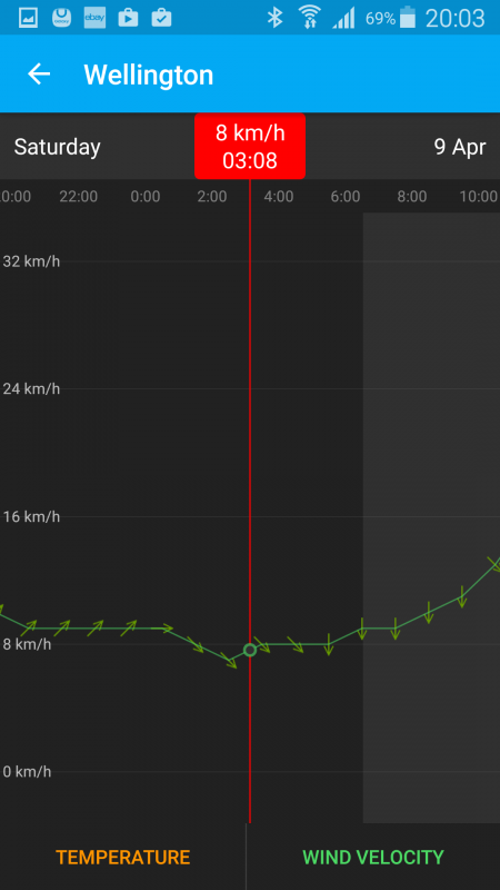
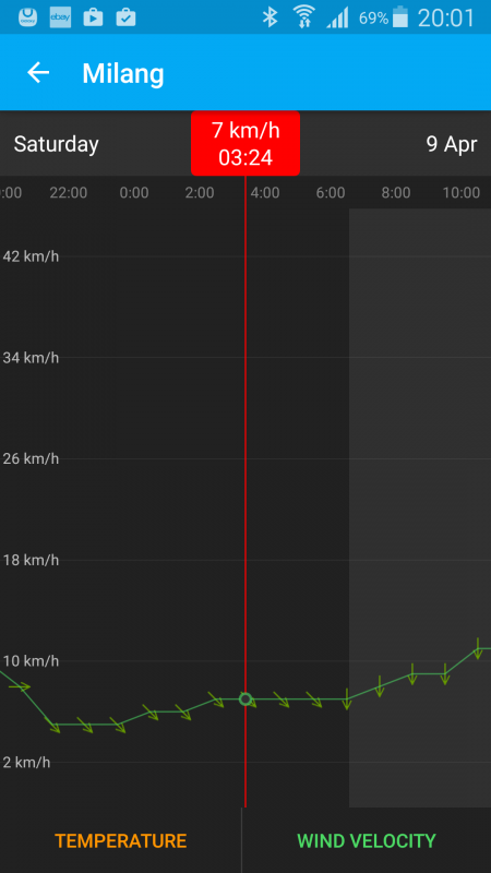
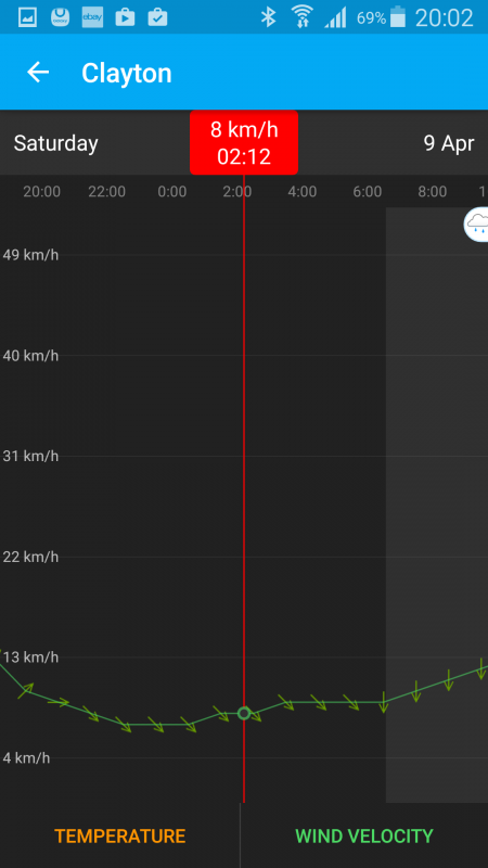
We had been closely monitoring the expected windspeed in anticipation all week

The patterns changed a little but nothing so much that it looked like it was going to be so strong we had to change our plans.

Along the way, things came together with our plans, the weather and Rod Clarke – who left the source on the 1st March arriving in Wellington in time so all 3 of us could cross the lake as a group.

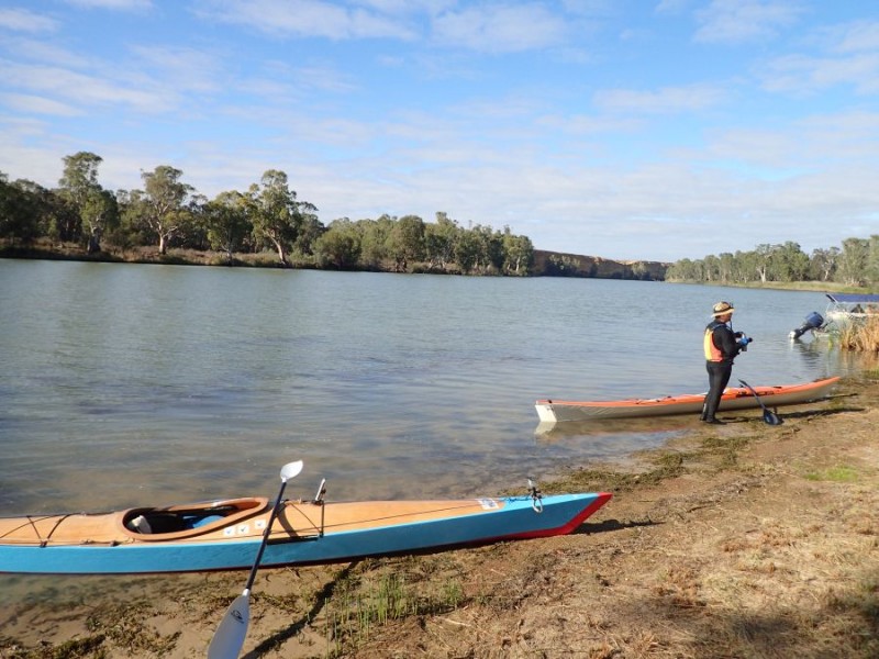
We arrived in Wellington around 10pm on Friday evening and started getting organized for the crossing.

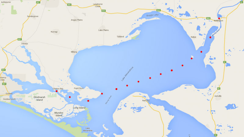
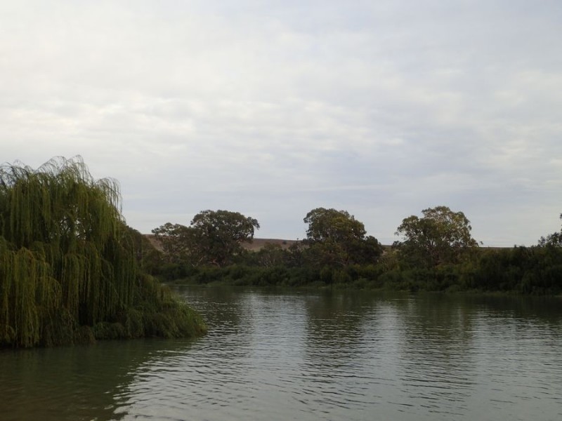
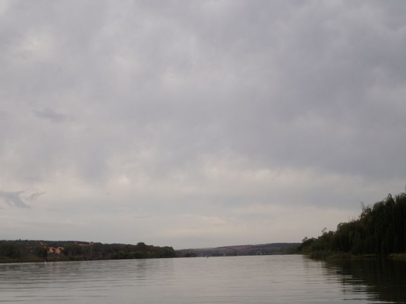
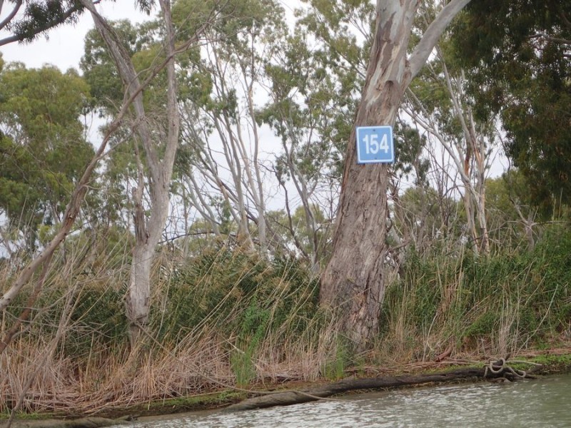
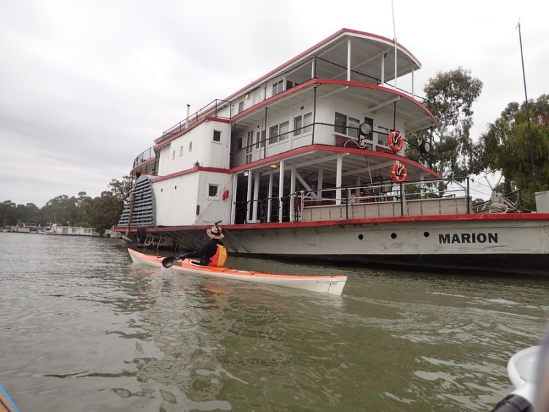
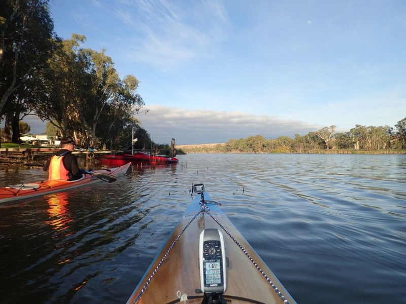
We sorted ourselves out and hit the water at around 11:10pm, crossed our last ferry and proceeded on the first leg down the last part of the River for our first scheduled stop at Point Pomanda.  It was a pleasant paddle down the river in near millpond conditions and we had a break, a nice hot coffee and we were back underway at around 1:10am and we hit the lake proper.

The night was pretty dark, and it was a case of Brad picking up the known landmarks and we were underway.  As we went out onto the lake we had the predicted ~10km south-westerly winds.  It did push up the lake a bit but nothing uncomfortable.

I had a hard time with the crossing – as my legs kept cramping up – and with nowhere to get out of the boat, we ended up “rafting up” about every 45-60 minutes so I could sort of stretch out and get the blood flowing as best I could.

About 2 hours into the crossing, the wind did pick up just a little and also move towards the South, which had the unfortunate effect of whipping up the lake a little bit more and also rounding us up a bit – and pushing us off-course.

The wind did steady back down, and the uncomfortable conditions also settled back down somewhat.

We thought we were “tracking” towards the glow of Goolwa on the horizon, and as we got closer towards it Brad said he didn’t recognize the light patterns – as we should have spotted the Point Sturt Beacon and it wasn’t obvious.

So, we rafted up, and took a look at the maps on my GPS to realize we were a bit off course.  About this time, Ray who was at Point Sturt was able to hear us on the radio and gave a shout – he could see my blue headlamp torch and flashed the car headlights and we finally confirmed the beacon and our destination.

We had been beating into and across the wind and when we realized how far off we were, we turned and had the wind behind us and surfed the last 6 or 7 km into Point Sturt – a much welcome relief after the hard paddle we had done to this point.

About 10 minutes before we arrived the first light was behind us and we could actually see the little beach where we pulled in for a much needed piddle-break, a good stretch of the legs and a warm drink – or lukewarm out of the Thermos.

Point Sturt

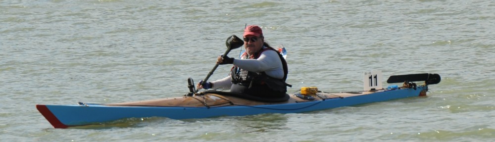
Rod (left) and Brad (right) admiring the sunrise from Point Sturt after a successful crossing of the lake.

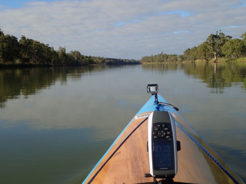
A quick check of the GPS and we had covered around 47km – or about 8km further than a straight-line crossing.

Sunrise

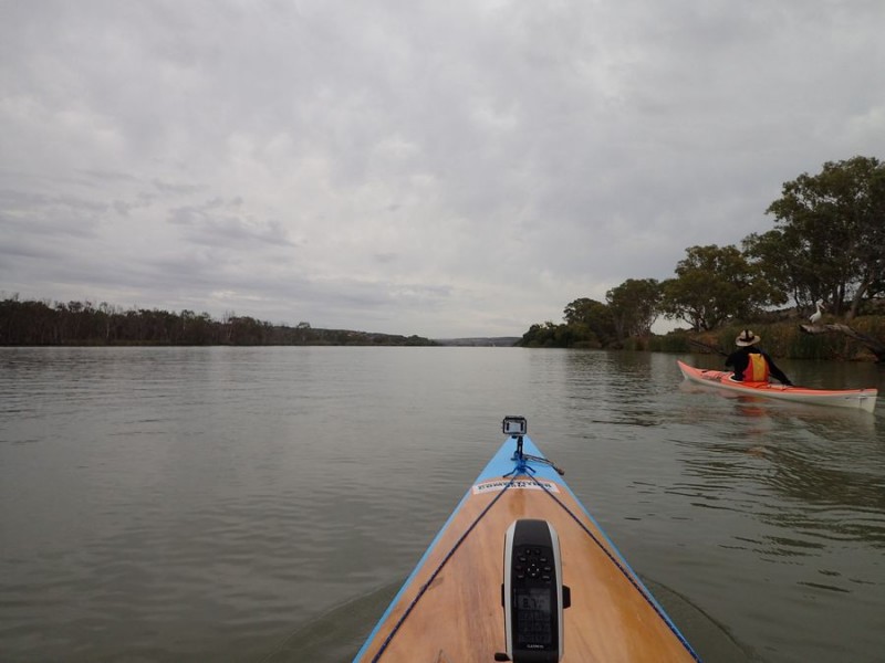
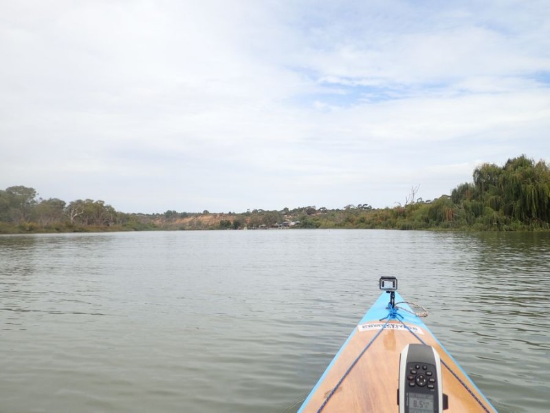
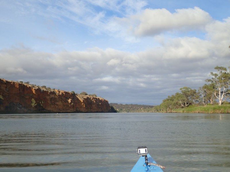
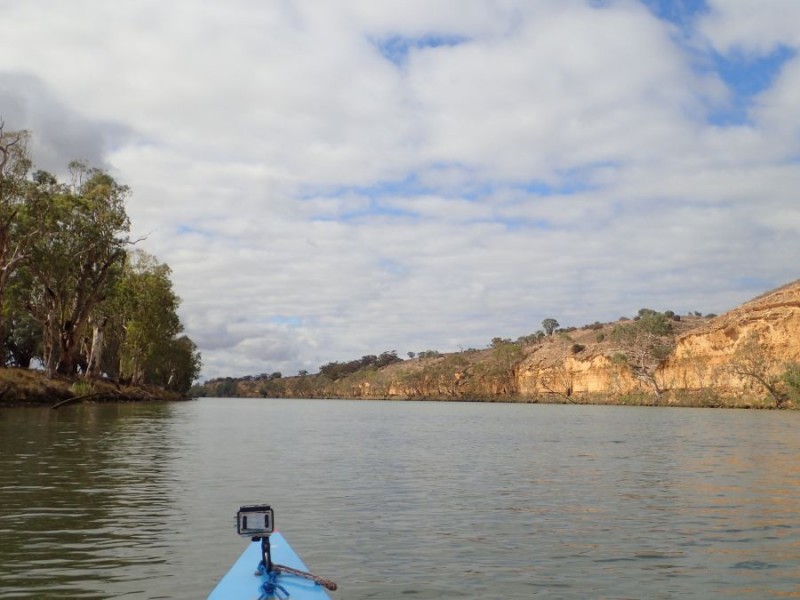
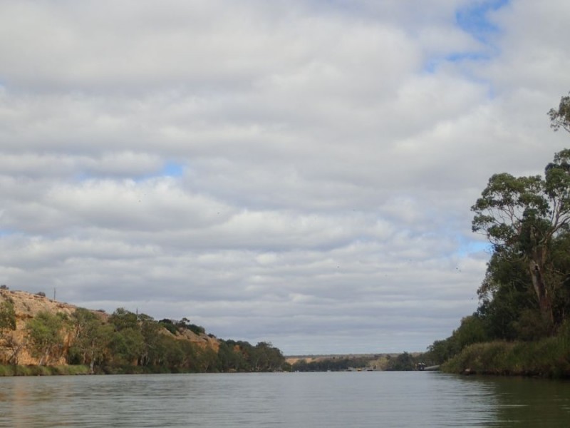
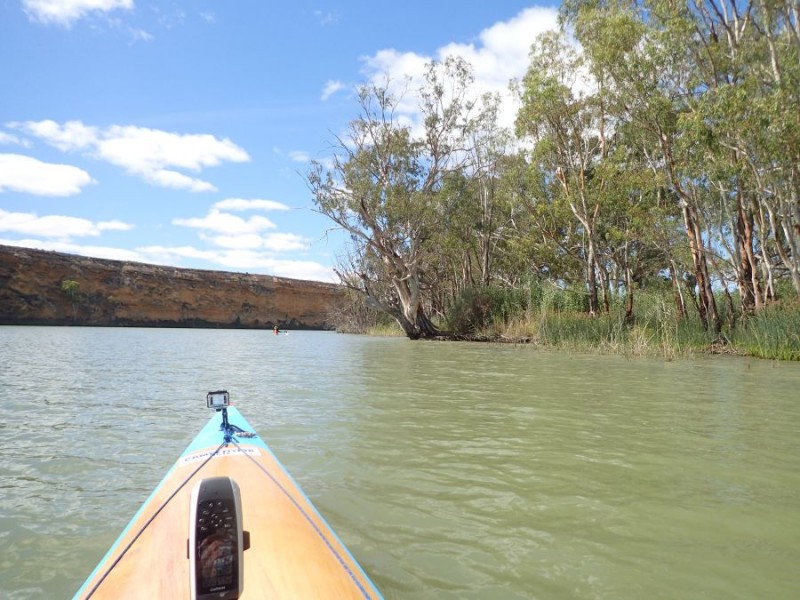
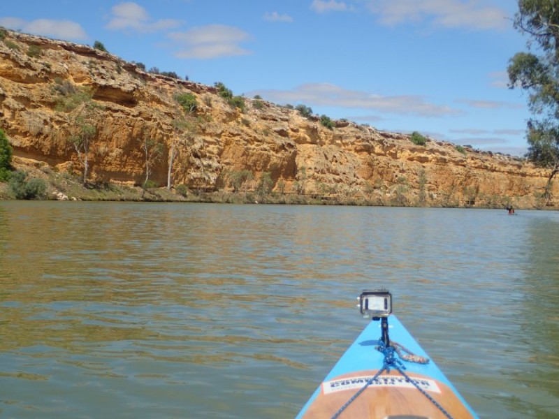
We pushed back out onto the lake at 06:00 for the last leg around to Clayton Bay.  It was a spectacular sight – the sunrise on our left, the small cliffs on our right with the sun just hitting it – one of the spectacular sights of the journey.

Rod and Brad

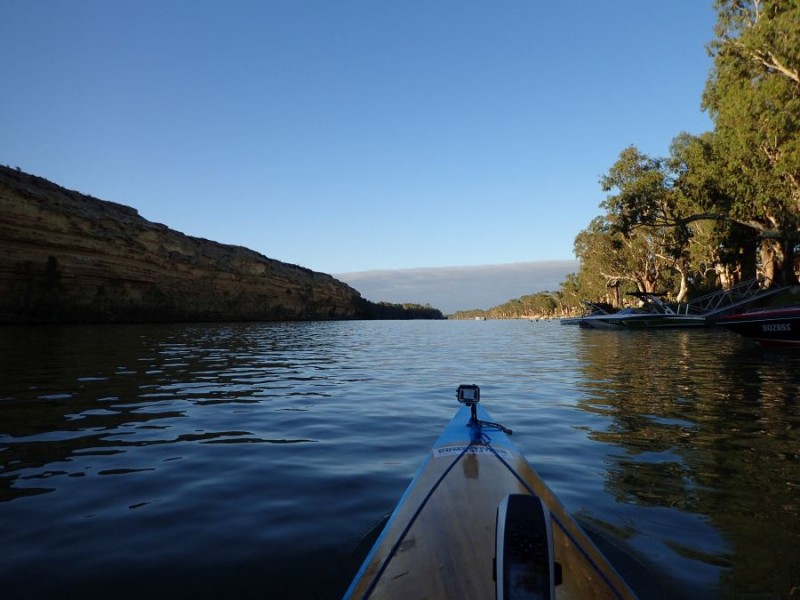
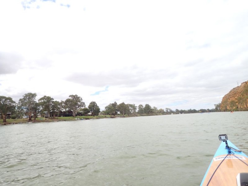
We arrived in Clayton at 08:00 after paddling a total of 59.6km and about 8 1/2 of paddling.

Clayton Bay

Alexandrina-1

Part 1 of the Map – Wellington out into the lake.

Alexandrina-2

Part 2 – dot “5” was about point Sturt and dot “24” was where we stopped.

The most welcome part was when we finished at Clayton, we headed up to Brad’s shack and had a most-welcoming hot shower!

Lake Alexandrina

It looks like there is a window of opportunity opening up that will allow us a safe crossing of this bit of water. Yes, we will skip ahead to do it – but this bit of water can be challenging and we need to think of our personal safety above all else.

First off, This lake is a body of water to be respected – it is vast and quite shallow.  Conditions can change from mirror flat to 1m breaking waves in next to no time, so when looking for a window to cross the lake above all else we are looking for several things.

  1. Ideally, we want the wind to be less than 15km/h (the lower the better)
  2. The crossing of the lake proper from Point Pomanda to Point Sturt is 26km, and being realistic, plan on that taking up to 4 hours (much longer if things turn bad).
  3. It is about a 2hr paddle out to the Point from Wellington and a further 2hrs at the other end up to Clayton, so we need a minimum of an 8 hour “clean” weather window.

Lake Alexandrina-2

The 7 day forecasts are looking to be pretty good for a Night Crossing on Friday 8th.

We look at 3 locations – Wellington, Milang and Clayton.

Wellington

So far so good, Wellington from about 8pm the wind will have dropped down to about 10km/h.

Milang

Milang, on the Northern side about the 1/2 way mark also indicates this is a pretty good window.

Clayton

Clayton, our destination, is also pretty good as well.

If you look carefully, whilst the direction is not the best, it is fairly constant and unlikely to change too much.

What you can’t see on these is that on the Friday, mid afternoon the winds will be around the 15-20km/h and that by midday on Saturday it will be up to about the same 15-20km/h, and getting worse on Saturday evening.

This particular window is nearly 12 hours, which is pretty good. The only downside – is that this is the only night of the whole month where we will not have ANY moon at all – it will be a dark crossing.  But, much better a dark crossing than a windy (and dangerous) crossing.

Of course, this is 6 days out at the moment and we need to re-assess in a couple of days time to double-check if this window changes!

Given that if we look at a longer time period, the wind is fairly stable over about a 48 hour period, but we need to assess when we are going to be in a position to tackle this bit of water.

Stay tuned – and we will be making a final decision 24 hours out.

Day 12

Today was the last day of the Easter weekend and we were sort of prepared for a very busy river.

We arrived back at Bow Hill and before we hit the water there were already a couple of boats out.

As luck would have it, we had a great day – only a small number of other boats on the river – they must have seen the clouds and decided to head home early!

Bow Hill

You can see the dull grey skies in all the photos from today.

As we left Bow Hill we noted that there was a decided chill to the air – the first time we had really felt it.  Winds were very light when we set out and we saw the last of the holiday makers

Bow Hill Shacks

The view across the river to Bow Hill is pretty typical of the river shack communities we saw all the way since about Morgan.

The river again was decidedly wider – and even as we approached the cliffs it was not narrowing as much.  It was very obvious today that we were no longer in the Big Cliff part of the river – the Teal Cliffs were the last of the big ones – everything else was much smaller for the rest of the day – both in height and length.


Approaching Teal Cliffs

After the first couple of boats, we almost had the river to ourselves other than an occasional ski boat.  We expected to see a procession of houseboats returning to Mannum but only saw a few.

We followed one down the river and just past the Teal Cliffs we passed one – well sort of!

Teal Cliffs

We caught up to this one, and rather than race past, Brad decided to paddle right in behind it between the 2 engines and wash-ride.  I jumped onto 1 side of it sitting around  3-4m out to the side on the wash and  we literally just had to steer and take a very small stroke to keep on the wash.  We did this for about 1km or so, just relaxing and being pulled along at around 8km/h.

We did make a move and paddle past after taking a rest and proceeded down to Younghusband where we met our land crew,

After we passed the Younghusband boat ramp there was a big change in the scenery

Pelican

We had the wind drop, and the decided lack of any sign of cliffs – we were in the lowlands and the river was now up to 200-300m wide in places.

lowlands approaching Noa No

We planned to meet our land crew at Noa No Landing, about 6km before we arrived in Mannum.  We saw a few river markers and all we could see was nothing but the river stretched out in front of us – it just seemed to go on forever.

We were very grateful that there was no wind – as there were no cliffs to break it up and it could have been a very bad day if it was windy!  We could see something in the distance, and sure enough, it was Noa No – the distance was deceptive – we kept paddling and paddling and it never seemed to get any closer!

After a short break, we were back underway down to Mannum, where we expected a lot of boat traffic, but again, only a couple of boats to contend with.

154

We spotted the 154 Marker – it is a significant one for us – it signifies we have now paddled 500km on our way from the Border to the Beach.

Unfortunately, I didn’t get a photo of both the Mannum ferry’s running, which is the only place on the Murray where there are a pair of Ferry’s in operation.  I missed the photo because as we were about 200m out both Ferry’s were stopped, 1 on each side of the river, so we dug in and made a run for it, otherwise we would have had to wait for about 5 minutes before crossing.

After a short break we were back and paddled past the Paddle boats tied up at the Jetty.  Right beside the Murray Princess which passed us yesterday and we realize just how big she is!

PS Marion

The Marion is a much smaller boat, but still impressive!

As we left Mannum, we were leaving behind again a westward path and again heading on the run south.   Within 1-2km, there were some low cliffs as we made our way.

It was not too long before we saw the Township of Caloote on a bend.

Approaching Caloote

We too a short break, even though it was only about 4 km to our final destination for the day and weekend.

We finished up at Zadows Landing, about 45km for the day and around 180km for the weekend, with only 140km left until we reach the Beach.

It is both exciting and a little disappointing to realize that we will only paddle for another 4 days to reach our destination.

Day 11

Well, today again was a little late starting and after the 55km from yesterday, we decided early to consider our options at around the 40km mark,

Again, fairly good autumn paddling conditions, mostly light winds in the 10-15km/h mark, with some longer sections into it.

Today, was a day of hopping around 10km between river shack communities – or in a lot of cases River McMansions!

Leaving Kroehnes Landing

It was rather nice when we left to get underway, and after yesterday, Brad said I was setting a cracking pace – and he was working hard to keep with me! So yes, I did back it off just a bit and we were treated to some great sights along the way.

The first leg down to Walker Flat consisted of a mostly wider river, then narrowed as it turned

tranquil

The cliffs were noticeably lower than yesterday, and as the sun started to hit them, we were greeted with some great views with the contrast of the river gums on the other bank.

We had a good hour or more of almost still water before the wind started coming up a bit.

Approaching Walker Flat

Another cliff indicated a change of direction, a narrowing of the river, and increase in the wind and the inevitable boat traffic!  This was an interesting bit of water, as we were paddling along into the wind near the cliffs, and there was a bit of other boat traffic being very generous with their wake (not) and of course – not just the wash, but the rebound off the cliffs.

Walker Flats

The end of the cliffline the boat traffic picked up yet again as we approached Walker Flats, where we stopped for a few minutes to stretch the legs.

After getting underway again and crossing the ferry the boat traffic eased up somewhat – most of the other traffic tends to stick to the side of the ferry where the boat ramps are.

We had a decent run for the next section and the river widened out once again.Wide open river

The river at this section was well over 200m wide, possibly even wider.

We were sort of in the zone, a very light headwind and a very wide section of the river and in the distance at the upcoming bend we saw one of the Majestic River Boats coming our way.

Murray Princess

The Murray Princess was a sight to see, a large paddle boat heading up river.  You coud have almost thought that you slipped into a time-warp!

Murray Princess

The paddle steamers are an interesting River Boat – and surprisingly the wake that they throw out is very small.  However, following the paddle, in a very narrow path that is barely wider than the boat it develops a very large standing wave that is probably up to 2m high.  This series of waves following the Paddle Boat stays there for several hundred metres before they start to dissipate.

Wide River

After the Murray Princess passed and we turned the bend, we were again into another long straight that again was quite wide.

Changeing cliffline

The end of the cliffline with the river widening again and we were almost at our next stop at Caurnamont – another small shack community.

Unbeknownst to us, the Murray Princess had turned around, probably in the very wide section just after we passed her.  We pulled over for a stretch of the legs At Caurnamont and a few minutes later we saw her pass again, this time heading downstream.  I was sort of grateful that it passed by while we were not on the water!

Purnong Ferry

Before we knew it we saw the Purnong Ferry.  Now, this was the closest call yet with boat traffic – and to the boat “legend” well, I have a new name for you – it is wanker!

Actually, I should apologize to him for even contemplating being on his river in the first place!

Here we were paddling along, and a boat went passed us heading downstream, about 40m away. Yeah, the wash was big but OK.  Then the hero, decided that he didn’t want to be in the wash of the other boat and came very close to us – it was probably less than 10 meters away, doing about 40km/h and dropping a wake nearly 1m high!  If it wasn’t for the fact I really needed to brace and ride it out, I would have offered him a 1 fingered Aussie salute!

The only good news was that we were really close in to the willows at this point – and the willows really are a blessing for us when paddling – they totally absorb and break up any wash – so you don’t have any rebound wash like near the cliffs.

After we passed the ferry the traffic almost totally disappeared and we were again paddling into the wind in mostly wider river.

Approaching Bow Hill


The last cliff for the day as the river narrowed directed us around to Bow Hill.

When we got out, we decided that even though we had only done about 35km, we would call it a day.  The next river access was on the other side and our land crew would have about a 40km drive to get to the landing and the next landing on the “correct: side of the river was a further 19km.  Not quite as far as we would have liked but a good day out.


Day 10

After yesterday, we were again blessed with better weather – 10 to 23 degrees and the wind was next to nothing for the first couple of hours, then came up to 10-15km/h  and we only had a few shortish sections where it was a headwind.

We were a little late hitting the water for our first leg today.  The run from Blanchetown down to Swan Reach, a 27km stretch that both Brad any myself know only too well – from the MCC Xmas Race.

Blancehtown

The first 5-6km was pretty hectic with boat traffic at just 8am in the morning, we had a day of particularly long straights and the first 5 or 6 was beside the cliffs before it opened up a bit

Opening up

We had the first 16 or 17km that was almost millpond, once we were away from the other boat traffic – it was spectacular

Short break

We had a short break to stretch the legs on a nice sandy beach where there were a few people camped before we continued on our way.

Cliffs

Again this 27km stretch is one where again neither Brad or myself remembered much detail – as when you are paddling a Marathon you tend to not notice the scenery.

I must say, that it was much nicer than I really remember – without the wind that usually came with the Xmas race.

It consisted of fairly longs straights, slight bends and clifflines that went for quite a way and most of the time is fairly wide, with the odd narrower section.

Before we knew it,we had turned the corner

Swan Reach Ferry

and in the distance was the Swan Reach Ferry.

With the Ferry came an increase in boat traffic, but most of it was downstream.  We had a lunch break at the boat ramp, and while we were there about another 5 or 6 boats were launched!

Yes, the next leg was a bit slow – and a lot of boat wash.  It seemed like every bend brought with it another landing, more jetties and even more boats.

Swan Reach

You can’t really see it, but coming towards us in this photo there was at least 10 boats and jetski’s

It was a welcome break at Big Bend boat ramp after dealing with nearly 10km of feeling like we were in a washing machine!

As we left Big Bend, we soon reached the Bend itself, a left hand bend with some of the most impressive cliffs so far

BigBend

We had a very gentle left hand bend and a cliff that is somewhere around the 30-50m tall mark that gently curved around for nearly 4km, before falling away.  This is the final leg of our trip south where we are going the wrong direction – as this is a North-Easterly leg.

Big Bend

At the end, we took a right hand turn and again had about a 5km leg with the cliffs on the other side.

This time the cliffs were initially in shadow, but as we progressed we saw the light come back onto the cliffs again.

Big Bend

At the end of the cliffline, we again took a short break out of the boats at Greenways Landing. As we were still feeling OK, we decided that with Nildotte only 2.5km, we could go a little further and set out for our final leg for the day.

Approaching Kroehns Lnding

With the cliffs falling away it was only a matter of a km or 2  before we made Kroehns Landing, for a 55km day and now with about 220km left of the journey.

I have to say that as much as I love the scenery between Overland Corner and Waikerie and Lock 2  and Morgan, the 10km leg between Big Bend and Greenways Landing is probably right up there as my favourite part of the river.