Well, the season has turned, along with our bend in the River last week.
We arrived at Morgan nice and early, and it was about 12deg with a light to moderate wind from the South – a bit ominous as that is the direction we are now pretty much heading!
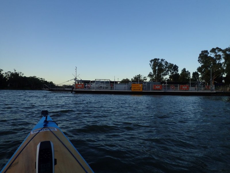
We passed the Morgan Ferry just before 8am. and started making our way into about a 15km/h wind.
I didn’t take a lot of photos for the next 10-15km, but this was a remarkable bit of river for a brand new reason – Houseboats galore parked up for the first 6-7km – must have been well over 100 of them. The River Shack – I don’t think that there is enough room on the eastern side to fit another shack with river frontage!
We found the wind took it’s toll and kept us at a pretty steady pace – while working pretty hard to make some progress.
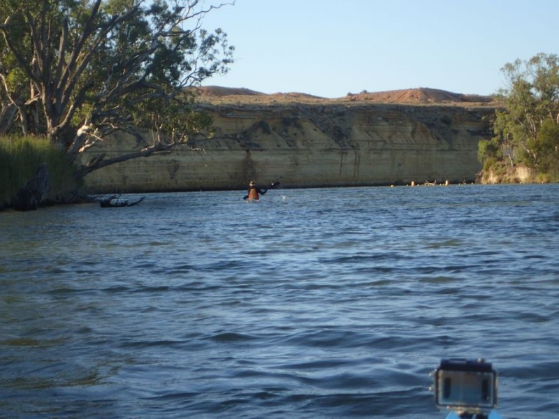
We did have the odd bend with the cliffs and this was about where the River Shacks started to make way for the typical lowlands – but if you look carefully, on the bend, yes, a shack!
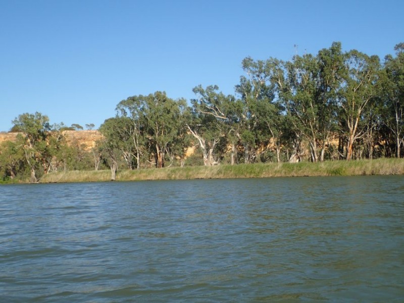
We started seeing some cliffs that were not directly on one bank of the river, but if you look at a map in these parts, there are quite a few lagoons that are not visible when paddling, but over the river bank and between the cliffline.
It wasn’t too long before we experienced a bit of other boat traffic – but being the Easter Weekend – it was always going to be there!
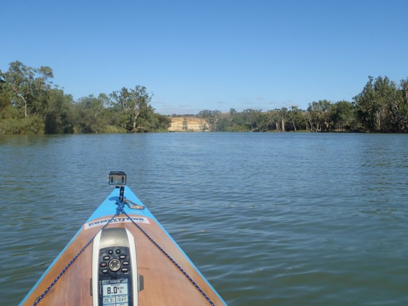
Just past Murbko, we had a small reprieve out of the wind, but up ahead, a cliff signifying a bend in the river – and of course more wind!
The river varied quite a bit, with some narrow sections as we came around bends to much wider sections as well.
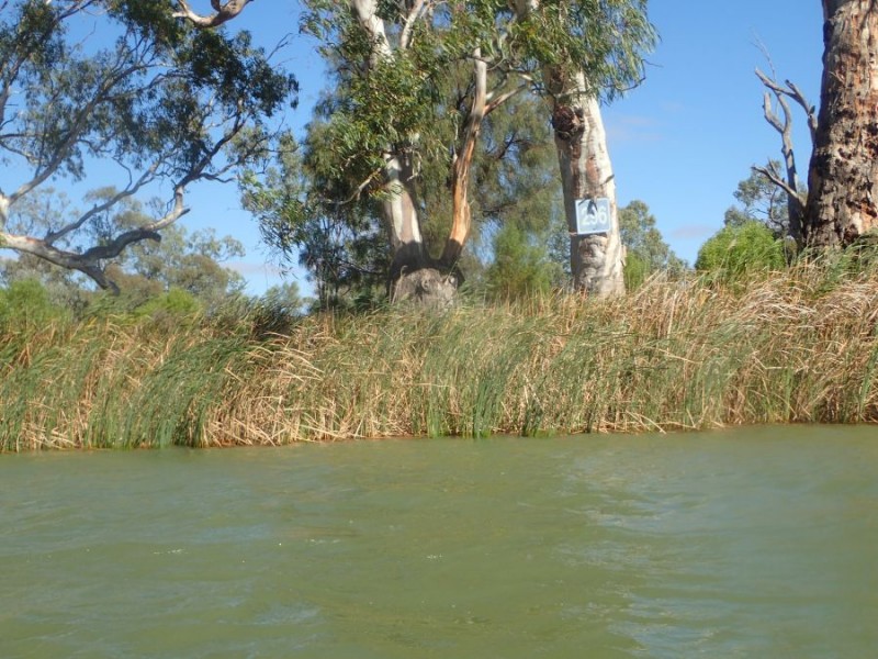
296 – was not the first marker we saw today, but they were few and far between – of course, I was on the lookout for 300, but alas didn’t spot it. This was both a good and bad marker to see – it meant we had only done a bit over 20km so far and at least another 20km for the day!
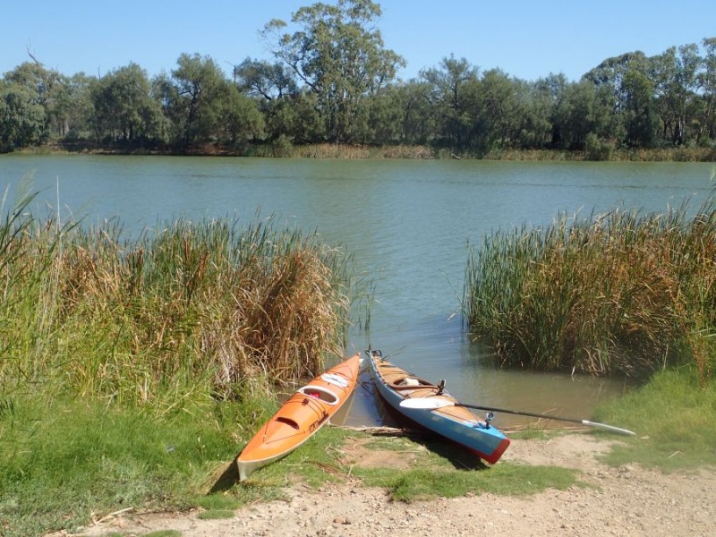
At the 30km mark we were looking for somewhere to stretch the legs for a few minutes and I had a call on the radio literally a minute later from the land crew telling us where they were. This little spot – Sinclair Landing was a most welcome couple of minutes standing up and getting the blood flowing again.
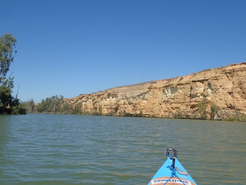
After we left the landing, we both commented that the wind seemed to have dropped a bit and was under 15km/h – very pleasant, but another cliffline, and other bend, and yes, more wind in our face!
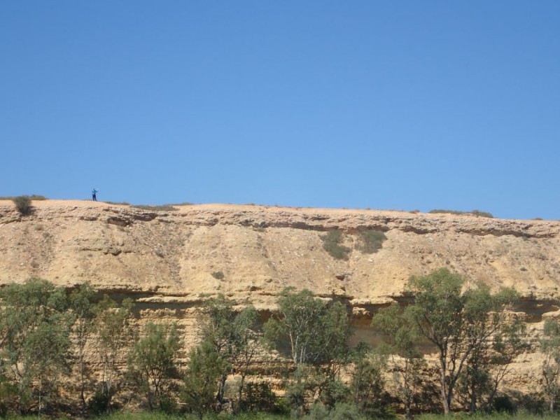
As we progressed down the river our land crew was able to access the cliffs – and this photo puts the size of the cliffs into perspective – see that “little person” standing on the clifftop – yes, somewhere between 40 and 50M high as we passed the 280 Marker.
The boat traffic was increasing as we approached Blanchetown – a few close calls, but we (well I) made it and kept mostly dry!
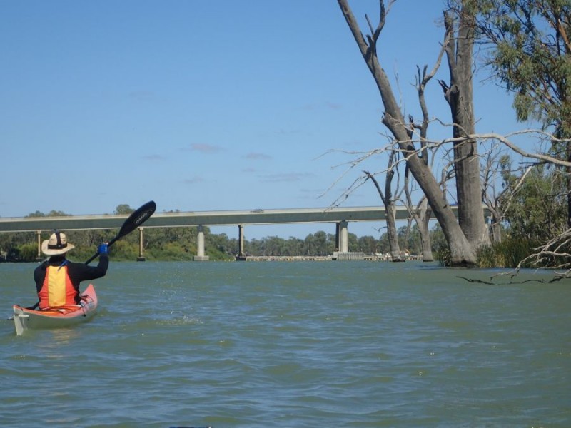
With the Blanchetown bridge in sight, and the Lock only another 1km downstream, we just had to get past the boat traffic – lots of ski and wakeboarders and jet-ski’s to contend with.
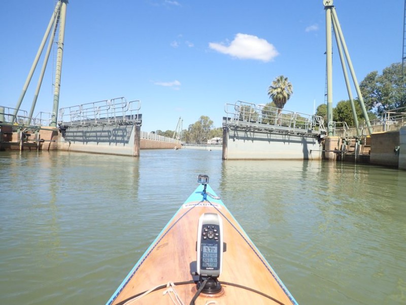
Under the bridge as we approached our last River Lock – Lock 1. Today, we dropped 2.4m and the Lock Master asked us about our journey for his log and informed us that we only had 274km to go to reach the mouth.

The as the Lock opened scene today revealed the Town of Blanchetown and a river-front house.
By this time, we again did a review of the river access and we knew that the next 27km doesn’t offer very much – as it is a section we have both paddled several times – this is where the Marathon Canoe Club Christmas Race used to be run.
We made an executive decision, and after 6hours of paddling into the wind, mostly in the 15-20km/h (more in gusts) speed range we decided to call it a day with a bit over 47km for the day.

Not bad at all , I would have loved to see a photo of all the house boats.
Maybe you can show me at work.
Frits