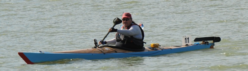
Below is the Map of the GPS track of the HCC. The Yellow highlights are at Checkpoint Delta, Checkpoint India and The Ferry where I had to stop and wait for a few minutes.

2012 HCC GPS Map Plot
GPS Speed Plot.

2012 HCC GPS Speed Profile Plot
The GPS Speed profile gives a pretty good indication of how things went for me.
At the start, I had the outgoing tide for about 1/2 the way to Sackville, (my first break) The yellow dot at around 30km Mark. You can see where my speed started to fall off a bit.
The next leg was against the tide, then with the tide as it turned again, and once again, you can see the increase in speed once the tide turned.
There is a short section here, where I had to wait for the ferry to pass before I could continue down to the Pit-Stop. I had the tide with me on this leg.
Just after the Pit-Stop, my speed dropped off considerably once the tide turned and I had an incoming tide slowing me all the way to the Finish. It is interesting to note that even though the graph shows my speed as increasing towards the end this was due to a few factors – the slowing of the tidal flow as it approached high-tide and that the last 2-3 km the river widens from about a hundred metres to several hundred metres. There were a few spots in this section where I paused for a snack or drink as well.
The plot shows that the tidal effect in the lower reaches is more pronounced than near the start. With the outgoing tide at it’s fastest, my Avg Speed was also the fastest, whereas, mid-tide in the lower reaches, my speed was the lowest.