Day 15, wow, after 7 weekends (6 of them paddling) we have gotten down to our last leg to complete our Border 2 Beach Adventure.
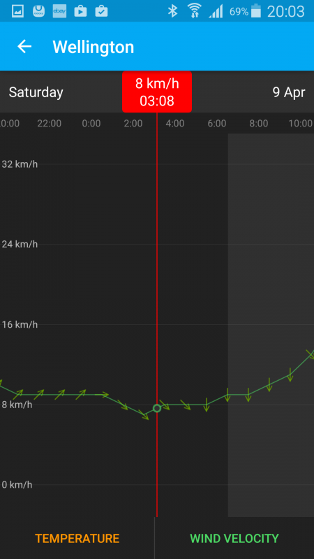
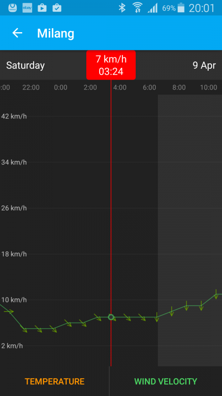
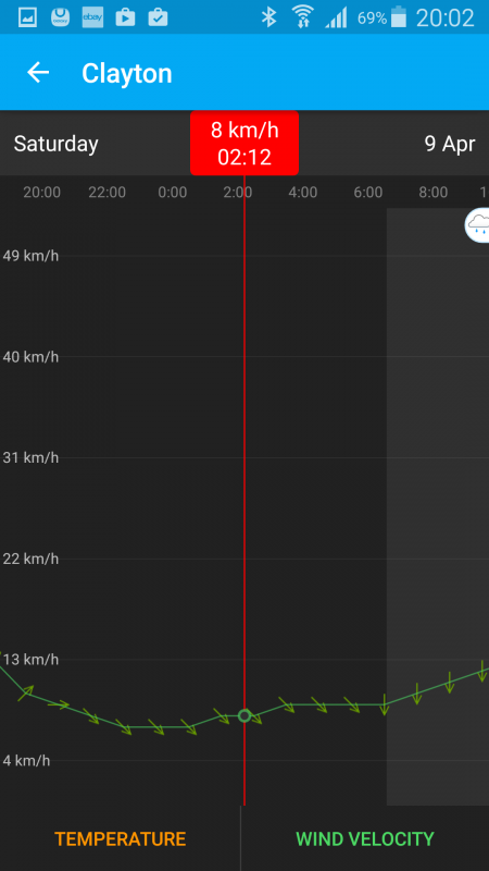
We only had about 25km to go, so we opted for “Gentlemen’s Hours” and got back and ready to go just after 9am. The temperature was not bad, 13deg, up to about 22, but the wind, well that is another story. It was predicted to be about 15km/h, but no, when we arrived, it was quite a bit stronger.
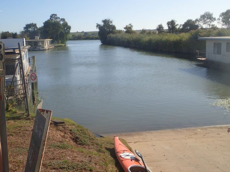
It looked fine within the protection of the marina, but out on the river…

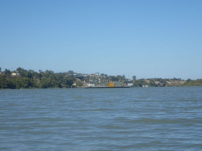
Yeah, from the photo you can’t really see it, but about a 20-25km/h headwind! We pushed along and into the wind – no protection along this part of the river – it is quite wide, mostly 200m+ wide and no cliffs to offer protection or break up the wind. We just hugged the willows, and got a tiny bit of protection but not much.
As we were approaching Tailem Bend and the Jervois Ferry we noticed that the wind was actually dropping off and quite bearable.
This is the only town along the river that I would call unfriendly to Kayak’s – we could not get out of the boats at the public park – no beach, just a high pontoon.
We got back underway and we could see the low cliffs and the big sweeping bend in the river, and the further we went around the bend, the lighter the wind got and it also moved from our face to our backs.

The cliff is really quite low and more of a hill next to the river.

The river widened up even more after the low cliffs and it was really nice to be paddling in the conditions.
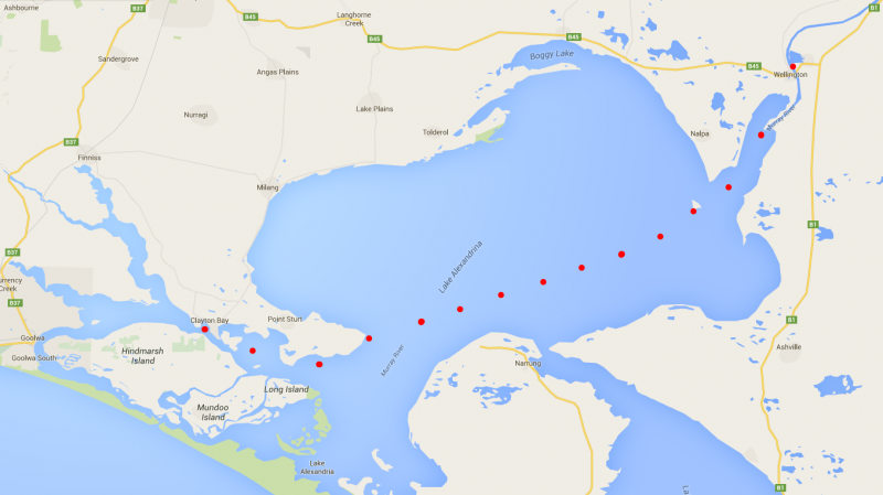
We rounded the last bend, and we could see the Township of Wellington, and before we knew it, the Wellington ferry and finally, our land crew waiting right next to the ferry where we departed from last weekend in the dark.
There is a tiny little spot, just enough room for 1 kayak in the shallow water which was the end of our trip, after 26km for the day. An interesting tidbit, this was the only day we were on the river where we encountered no other boat traffic at all! (OK, the Jervois ferry doesn’t count!).
Now, I am going to depart a little and post just a couple of photos that I didn’t take.

Arriving,

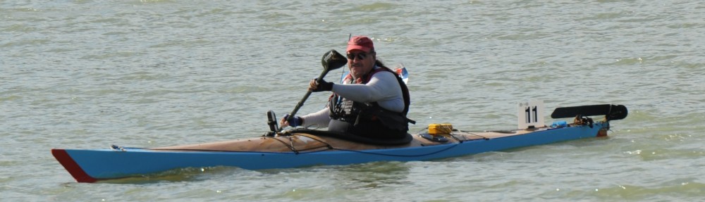
I had made it!
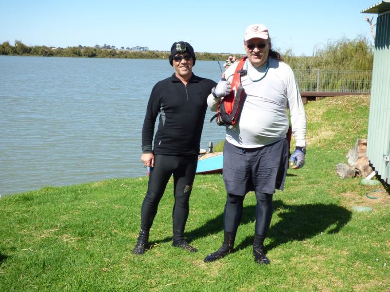
Brad (L) and Bob (R) at the end of our 654km, Border2Beach 2016 adventure and a lifetime of memories.
A very special Thank you – to my Partner Ray – our dedicated Land Crew – who got us on the water, met us, fed and watered us along the way. Without this support we would never have been able to complete our Adventure. All that time ago, when we planned this trip, Brad’s Partner, Renee was only working part-time, but in the intervening time secured a full-time role and was able to be there Supporting us when work allowed.


 But, the most interesting river marker was the 130 marker – only insomuch as this is the first river marker that is a buoy and not attached to a tree. We only saw a couple more river markers on trees, most of them were floating.