Day 8

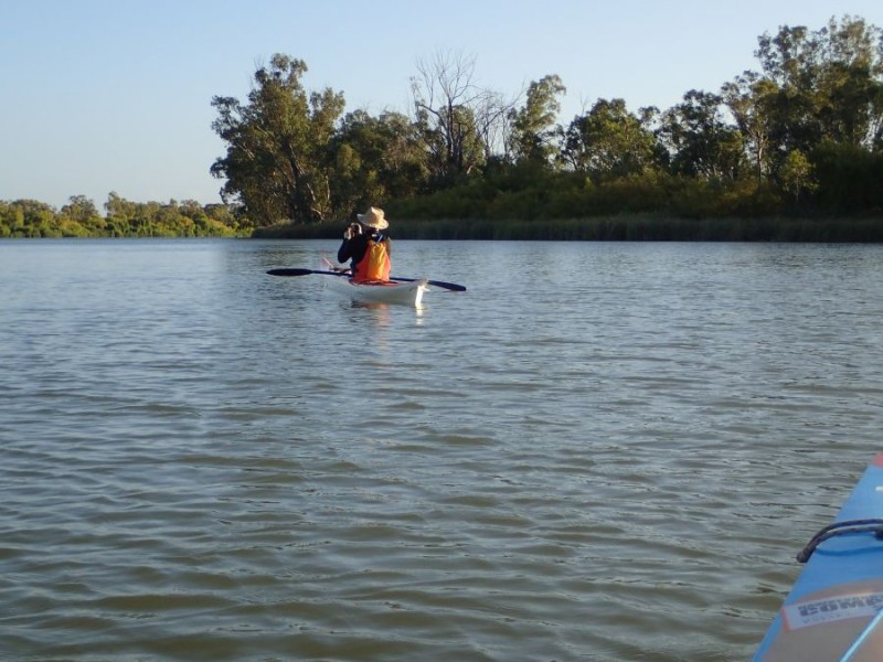
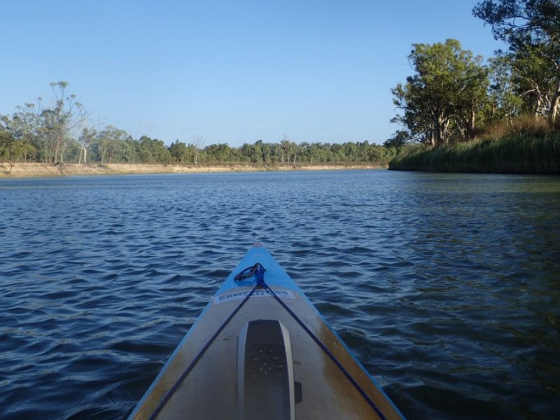
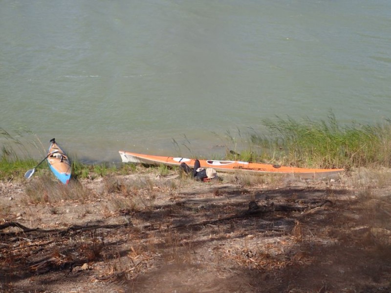
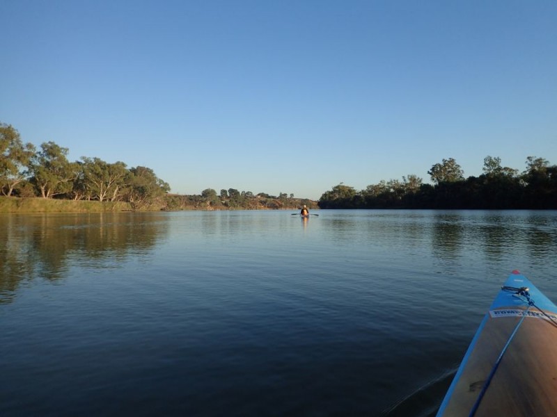
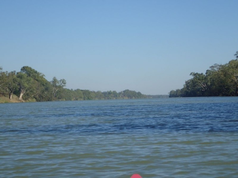
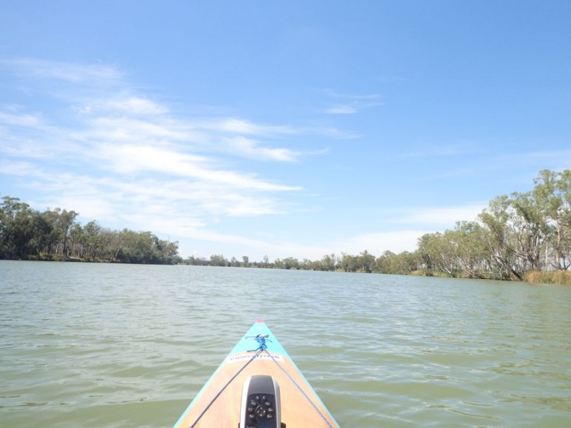
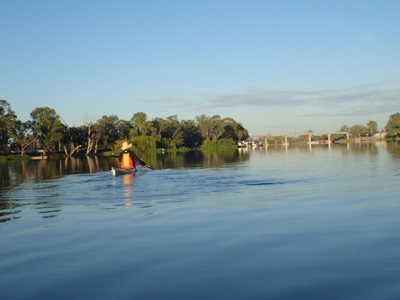
We arrived back at Qualco boat ramp around 7:30am and started to prepare for a 1/2 day of paddling.  It was a perfect paddling day – the temperature was 10deg when we hit the water and the winds were light – and mostly on our backs!

Qualco

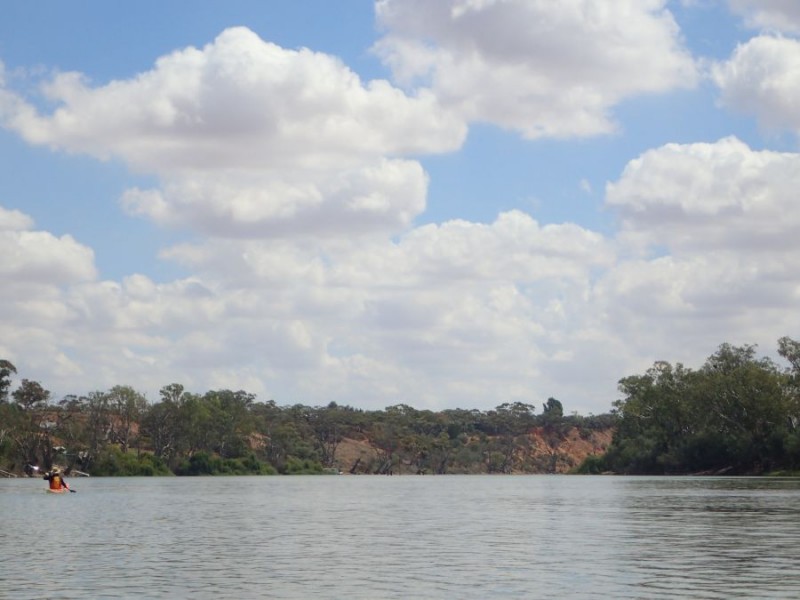
It was again a very peaceful river that we set out on today just before 8am  This part of the river is still a series of relatively short sections that then twist and meander around, with yep, you guessed it – more cliffs!

Sunrise on the cliffs

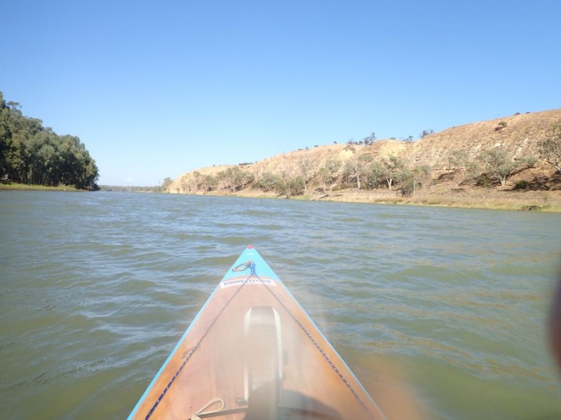
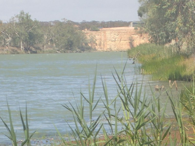
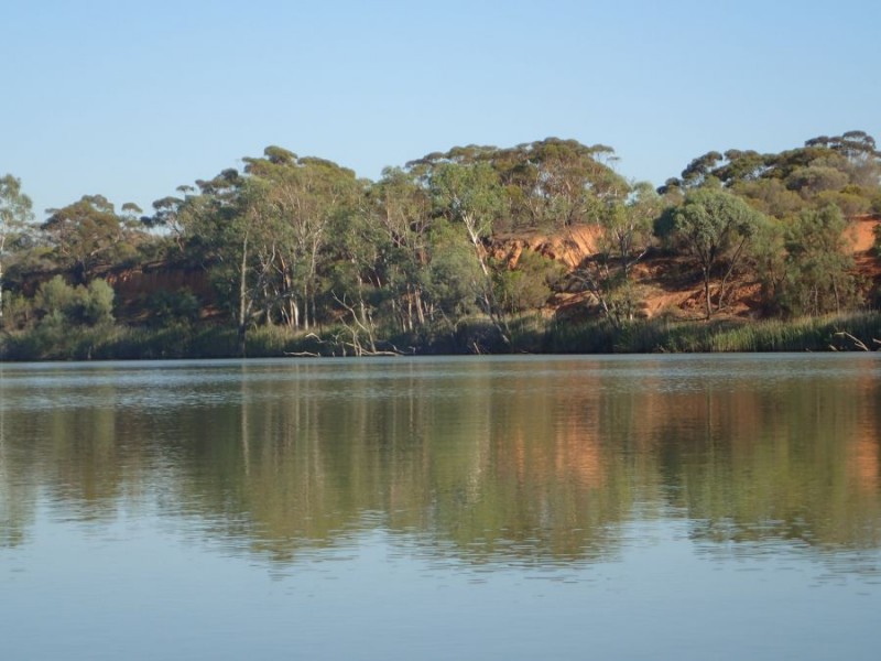
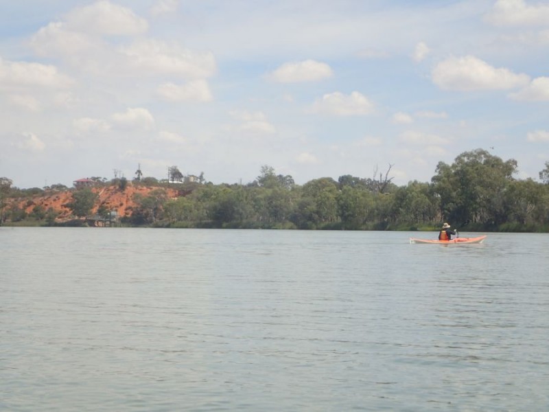
We came around a corner to be greeted with the lighter tones of sandstone that have been carved over a millennium by the river, and the early morning sun hitting them.  The cliffs define the direction the river chose all that time ago.

more cliffs

A few km further on, we had yes, you guessed it, yet another cliff – this one was quite long and curved around.

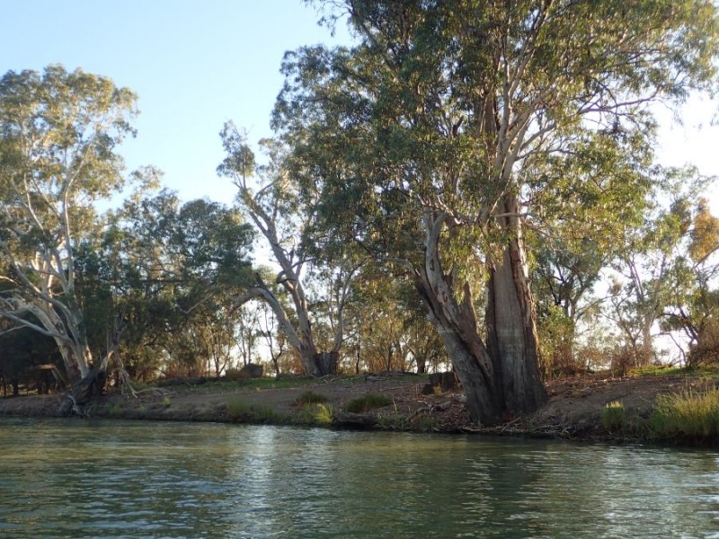
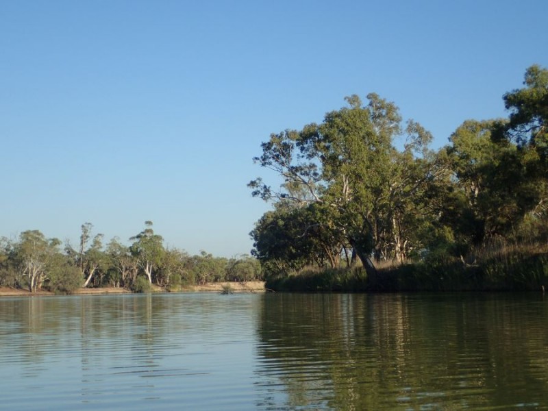
Eventually the cliffs fell away and we wandered thru more lowlands.

Before we knew it we had done 11km and arrived at Hogwash Bend – the start for the last leg of the RPM 100, where we take a quick break.

Lowlands

Until now we had not seem any of the now familiar blue signs and the first one we saw for the day was 348 on a tree in the flat-country.348

We wandered along with the river now not twisting and turning quite as much and decidedly wider.  Yes, a cliff in the distance is always a welcome sight as it means a change in direction coming up.

Isolated

The 18km just seemed to fly past and before we knew it the Cadell Ferry was in front of us.

Cadell Ferry

We took a short break at Cadell after going around the corner, before getting back onto the last 11km for the day.  Now this is a section of the river I am very familiar with, having paddled upstream from Morgan to Cadell several times of the last 5 years or so.  Yes, I still love the scenery, with cliffs and lowlands along the way.

Cliffs and lowland

Now, we knew that this was a special bit of the river and we were on the lookout for a Marker and yes, it was there!

326326 – what is so important about this? well it signifies we are 1/2 way from our stating point in NSW to Goolwa!

Just a little further on we came to, yes, you guessed it another cliff and another bend in the river, but again a significant one.

Morgan Cliffs

The left turn at the Morgan Cliffs are the end of our Westward journey, and now we are on our run South to the coast, and also, it reminded us we had just a few more km for the day.  It was also where we hit some other’s out enjoying a day on the water and contended with a few people skiing – and as we move southward, we know that there will be more and more river traffic – especially on the weekends when we are paddling.

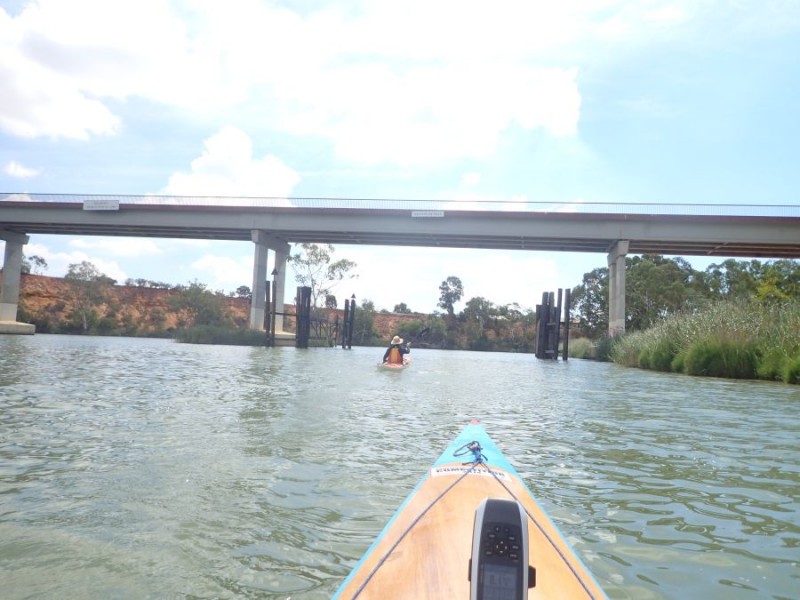
Morgan Wharf

You can make out the Historic Morgan Wharf  – the dark bit in the photo – and in the distance the Morgan Ferry.  We didn’t cross the ferry today, but stopped just short at the Morgan boat ramp with 41km under the belt for the day and only 319km left to go.

Day 7


What a difference a day makes!

Starting out

I’ll leave it to the picture to explain!

Today, we started out from Wigley Flat, which is about 2km from where we got to yesterday, before turning back. As you can see, the conditions today were a return to stunning – with the temperature around 18 when we left and the wind about 10km/h.

Telegraph Cliffs

I knew that today we would be (finally) seeing one of my favourite parts of the river – Telegraph Cliffs  and I was not disappointed!

Devlin;s pound

Before we knew it, we were at Devlins Pound – a place that anyone who has done the RPM will know about – the start of Day 2 for the RPM 100.

Now, even though I have paddled this section, I could only remember a little bit about it and doing this section again today was different than I remember – much much nicer to tell the truth.

Cliffs

I suspect that Brad just might pinch this photo for his Facebook profile!

These cliffs went on for around 5 or 6 or 7 km – much further than I remember. today, the km just seemed to fly by and before we knew it, we were at Lowbank, where we stopped for a few minutes to stretch the legs.

Lowbank

Now the 12km from Lowbank into Waikerie is one that I have not many fond memories of! When paddling the RPM 200, you get to here and it is a mental barrier, that there is still 12km till the end of the day – and you sort of block out most of the details about this leg just wanting to get to Waikerie.

Well, today totally changed my mind about this area – it is every bit as good as many other parts of the river!

Maize Island

As we get to the end of Maize Island Conservation Park the river takes a turn and narrows – all I remember about this is that it is dark and cold! But today, with the sun still on the cliffs, it was really good!

And before we knew it, we could see our first hint we were getting closer – and 1 more bend, 1 more cliffs and we were at the Waikerie Ferry.

Waikerie Ferry

We stopped for a bite to eat and stretch the legs in the Riverside Park, where the RPM Day 2 ends.

The last leg for the day – the 20km down to lock 2 is an interesting bit of river – both Brad and myself have paddled this section but never ever seen anything!  Well, we have paddled the first 10-12km in the dark, and the last bit with the sun rising in our faces!

It has some really pretty sections – some more cliffs, bends, lowland and our first real sign of the River Shack (or palatial mansions in some cases)

Ramco Point

Ramco Point is about where we first start seeing a shape in the pre-dawn light and the indication that we turn right for the run down to the Lock.

Somehow this leg seemed longer than I remember, as after the run at Ramco, it is a fairly long almost straight as the Ramco cliff falls away, then we have a few km of small turns and a few smaller cliffs before we get to Lock 2

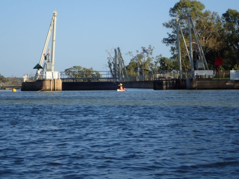
Lock 2

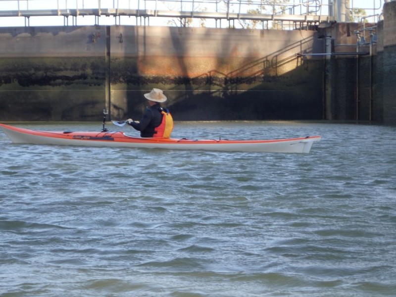
Inside the Lock, and we are dropping a further 3m today.

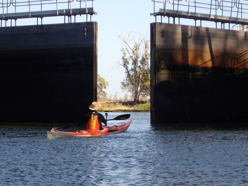
Exit lock2

It is always a special moment when the doors open and you see what is in store for the next leg.

Qualco

Well for us, we did the last 2km down to our finishing point at the Qualco boat ramp – with a respectable 56km for the day, where we now only have about 360km to go!

Day 6 – The day that wasn’t

Well, it had to happen! After such a great run weather-wise, today was one of those days we should have just done something else!

With a big storm front coming thru on Thursday evening, and another at about 3am this morning the weather reports were conflicting, some said light winds some said strong winds…. Well we found out which ones were right.

Well, we hit the river at KOM at around 8am with the temperature in the high teens and the wind around 15-20km/h. It was not too bad

Leaving KOM

and made our way the few km around to Lock 3

Approaching lock 3

And again inside the lock chamber

Lock 3

We dropped down 3.8M – the highest drop so far.  Now the astute would notice that we are sitting inside a concrete bunker, that is protected all around – but the wind was playing havoc – and yes, even in the lock chamber was showing it’s effects.

Exit Lock 3

It is always a bit special as the doors open and we see what is waiting on the other side.  Again, it still looked OK.

But at this point we were certainly noticing the wind was stronger than earlier.  It was not the millpond of the earlier days, but still nothing to worry about.

River views

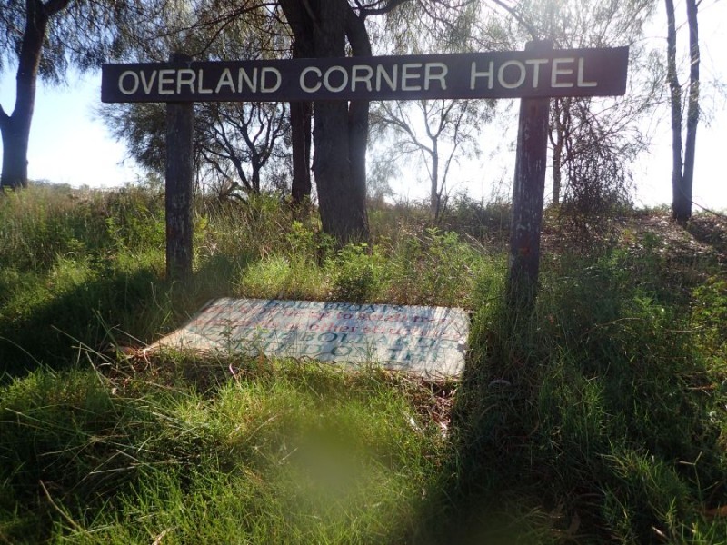
We kept going down to the Overland Corner boat ramp.

Overland Corner

After we hit the river again, we were directly into a bit of wind, and we see our first cliffs that are not the distinctive red we had become accustomed to seeing – the first of the yellow cliffs.

Yellow Cliffs

As we progressed along the straight the wind and fetch were getting a bit stronger – and within about 1km, Brad had pulled away a little from me and after passing a red buoy in the river, then passed it again as I was blown backwards! – yep, I thought I was paddling forward, but the GPS was showing 2km/h while I was going backwards in the wind! I decided to pull over and make a decision as to what to do.

When I checked, It was about 25 minutes to paddle just over 1km!

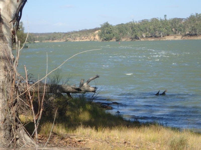
Windy

The photo doesn’t do it justice – the wind was well over 30km/h and gusting probably to 40+ and more than several times I was burying the front of the boat under the fetch (Fetch – the waves generated by wind on a river or lake).

Brad noticed that I was not with him and he had stopped on the other side of the river about 500m downstream.  He came back to where I was and we literally watched the water for a while to try and decide if it was abating or increasing – and hence go on or turn back.

Well, it did die down and we hit the river again and made another 1.5km or so before the gusts were again increasing and we stopped, yet again.

Within Sight

Yet again, the photo doesn’t really show how strong it was – and we were about 1.5km from making a turn in the river, but I was right on my limits in these conditions and no matter what we have to consider our personal safety above making the distance.

Waiting

If you look at the rushes you can get a bit of an idea about the wind, they normally stand straight up, not bending nearly to flat!

With the wind still blowing in the 30km/h+ and then the gusts even stronger, we made the call that the 3km back to Overland corner was probably the right choice today.

Of course, Brad, who is an ocean paddler loved it! wind at his back and rolling waves to “surf” he was loving it!  But, I was feeling a little on edge and it still took a bit of effort to keep the wind to my back and not take an unplanned swim!

We made it the 3km back in about 20 minutes – what had taken us about 45-50 minutes of paddling into it!

Conspicuous by their absence  we did not see a single river marker today.

This part of the river – especially the high red cliffs we could just see is what I remember from this part of the river and something I was really looking forward to!

Well, the weather reports for tomorrow are for winds under 10km/h – so lets hope we can get back out there and get more than another 15km down the river tomorrow.


Day 5

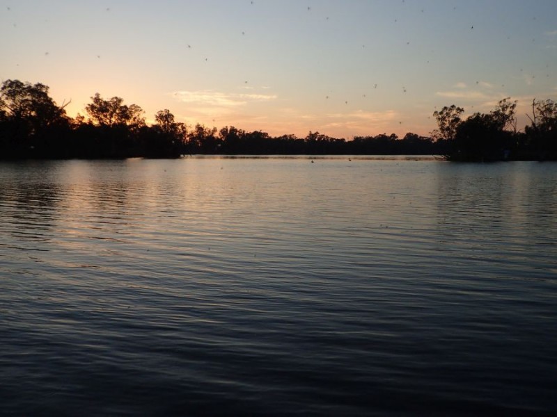
Before we reached the starting point, we stopped for a few minutes at Moorook – just on sunrise.

Moorook Sunrise

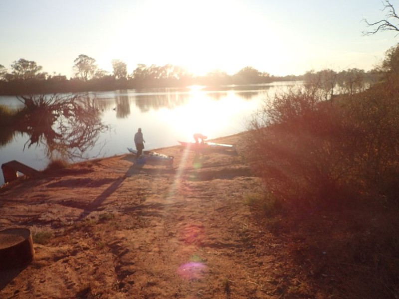
We kept right on going for a further 10 minutes (make a note of that time) and arrived at our starting point for the day and started getting ourselves organized for another day on the river.

Getting Ready

It didn’t take too long and we hit the water just before 8am with the temperature in the low 20’s again and the wind at our back – which is both a blessing and a curse!

Again, this is a section of the river I have paddled a few times now, and can only really remember a few very small details about it.  It is pretty amazing when doing a marathon, you seem to focus on catching the person in front and not so much about the journey.

Getting Underway

Yes, can’t believe it – 5 days in a row we hae perfect conditions for being on the river and paddling.

Not long after we left I spotted another first for me

Canoe Tree

This is a Canoe tree.  A canoe tree is one where the Aborignals carved out a section of the living tree bark and turned it into a boat.  The tree keeps growing and you end up with the distinctive “canoe” on the side of the tree.

Most of today is fairly flat country – compared to the leg into Loxton, the river slowly widens and slows.

Around the Bend

For the first part of the day, we did wander around a few gentle bends, and again, spotted the odd Kangaroo and Wallaby drinking from the river.

Hills

Just past Gerard, an Aboriginal Community that sits on the side of the river was our first sign of a hill and the oranges we have seen a fair bit of to date.  As you can see, it was still fairly still and really quite nice on the water.

7 Mile Reach

After we passed 466, just before the right hand bend we take at the entrance to Pyap Lagoon we are face to face with the 7 Mile reach!  At this stage we have just paddled about 16 km from Pyap, only to end up at Pyap Lagoon!

Yeah, the river is wide, the land is predominately flat and it just seems to go on and on and on and on and on! But at least we had the wind to our back and it had picked up to around 15km/h.  Blessing as we were being pushed along, curse, because that wind was on our back and not cooling us!

About 4km into this long almost straight stretch we had a quick stop at New Residence where we could meet our land crew, before heading back off to Moorook. New Residence down to Moorook is a further 10km, and basically at the end of the 7 mile reach (give or take). We arrived back at Moorook at around 11:45am – and yes, that was just over 3 1/2 hours of paddling for what it took us to drive those 10 minutes in the morning!

In this section, being a weekend, we started to see a few more people out enjoying the river – a handful of ski boats which we had around for the rest of the day.  Didn’t have too many issues, but just had to deal with a bit of wash from them.

Underway again

Back underway after lunch with the temperature now in the low to mid 30’s we had similar flat country, but now with a few bends.

KOM Cliffs

When we came around a bend and I spotted the first bit of colour since we had turned into the 7 Mile Straight before lunch.  Now this is a feature that I remember, it is the cliff where we turn right at and head under the Sturt Highway at Kingston on Murray.

KOM Bridge

Interesting Trivia – In this area of the river it is over 70 feet deep – and probably the deepest part of the Murray river – well apart from the Hume dam!

We only did a further 4 km and just after we passed the 436 Marker we pulled into the Kingston on Murray boat ramp and called it a day with about 45km for the day.

Again, we made the decision to end the day here – even though Lock 3 is only 4km downstream, then the next river access is a further 6km beyond that – the drive around is about 40km and decided to call it a day.

So, after 5 days, we have now paddled in 3 States, passed thru 3 locks, passed under 3 bridges and past 1 Ferry.  We have seen quite a bit of ever-changing scenery, taken the time to enjoy the scenery of parts we have paddled already and are around 1/3 the way from our start to the sea.


Day 4

Day 4, after 4 days back at work, we hit the river again today.

Like every other day, we started out from where we left off last time – and hit the water in Berri  just before 8am.  Conditions were again near perfect on the river with the temperature in the mid 20’s when we started and almost no wind.

Berri Road Bridge

Just after we started we passed the 526 River marker on the old ferry and then headed under the Berri Bridge.

Even though I have paddled this section of the river before during the RPM 200 I have almost no recollection of any distinguishing features of the river!  Sounds crazy, but when paddling a marathon you are in a totally different mode!

Cliffs

The river was flat and the early morning low angle light makes for some spectacular contrast of colours – from the water, the cliffs, the trees and even the sky.

9 thousand Megalitres

Before we knew it, we were in lock 4 and the flow meter looked very encouraging for a bit of extra water once we passed thru..

exiting lock 4

In a few short minutes the lock-master had pulled the plug, we had dropped another 3 meters and we were on the way.

Looking Back

Once we passed thru the lock, I looked back and could see the water coming over the weir – very encouraging indeed!

It was very obvious within a few minutes that there indeed was a decent flow on the river which was quite welcome! We made the most of it – as this section f the river is actually quite narrow – rarely extending to 50m and often only 20m wide or less as we came to a bend.

Bird Tree

Speaking of bends, we were going around a gentle sweeping left hand bend and spotted this tree – and it was covered in birds.  There were a few other trees around and we are still wondering why this tree?

cruising

As I said, I could not really remember anything much about this section of the river between Berri and Loxton, and it varied from the wonderful sandstone cliffs to lowland both with old and younger river gums right up to the edge.

500

After a quick stop at Rilli or is it Rilii or is it even Riley Island (yes, an exercise for the reader – as we had 3 different maps all with different spelling of the place name) across the river we spotted a significant (for us) 500 marker.  It was interesting that this section of the river we spotted most of the markers as we came down.

River

After a short lunch break in Loxton we headed back out for our next leg for the day.  I sort of remember this section of the river – a few sharp turns, some wider expanses and cliffs – but not the rally big ones.

We have to make a decision on how far we will go each day – and that is dependant on where the next accessible part of the river is for our landcrew,  We had excellent access at Pyap, just after the Katerapko Creek re-joins the Murray, just past the 482 Marker.  The lockmaster at lock 4 asked if we were taking the creek or the river – as it branches off the river about 5km from the lock and is in fact about 20km shorter!  .

As the next spot we can access the bank is New Residence, a further 20km downstream, we decided to call it a day after about 46km.

Finished

The temperature had risen to the mid-30’s, and the wind was still almost non-existent when we finished for the day.