Well, we have arrived at our final weekend of paddling to complete the 654km journey down the Murray. The weather reports were for a 10-22deg and winds increasing from about 10km/h to around 20-25km/hr – so we thought we might be in for a bit of a tough day.
We had a bit of a late start, but with a planned distance of 40km for the day that was OK.

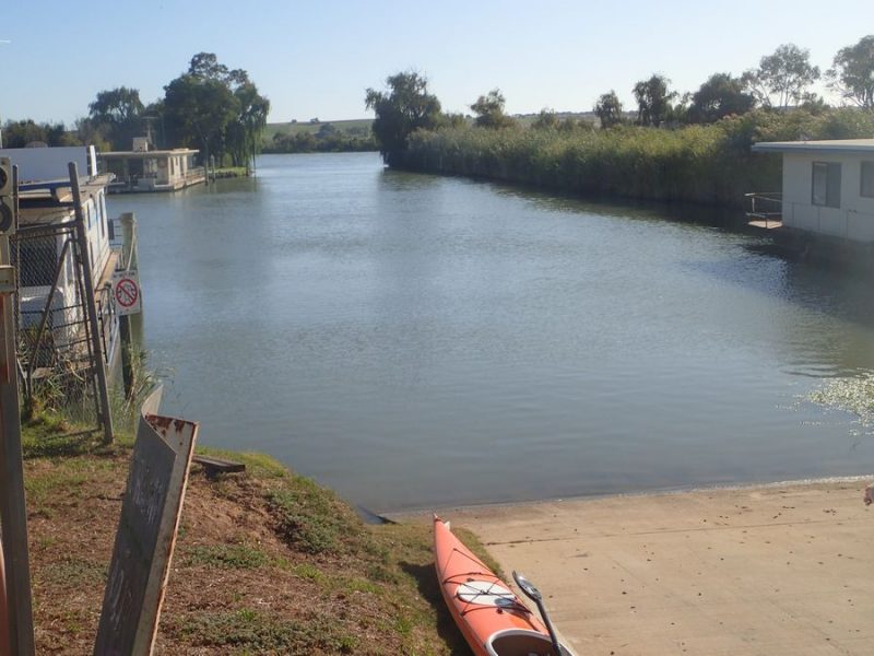
We got underway just after 8:30am from Zadow’s landing where we finished last weekend.
When we hit the water, we were wondering what the fuss was with the predicted wind – it was like a millpond.
Around the first bend we saw our first Riverboat for the day the Proud Mary heading upstream – a large boat that does both day and multi-day river cruises out of Mannum.
As the morning progressed, the scenery changed – as it has all along the river with something different around every bend.

The wind had picked up somewhat, but not too bad – right in the 10-15km range. The scenery was now a much wider river, with the occasional low cliff. We had a threat of rain, but fortunately for us, we did not get any on the river – but the clouds were all around for most of the day.
Our first river marker for the day was 136.
 But, the most interesting river marker was the 130 marker – only insomuch as this is the first river marker that is a buoy and not attached to a tree. We only saw a couple more river markers on trees, most of them were floating.

We had a couple of stops along the way, every hour or so for a few minutes and the scenery was again changing with the cliffs now becoming a steep bank near the river, leaving just enough space for the shacks. The wind was still about the same, and the clouds were starting to clear up just a little more.

Just as we stopped for a quick stretch, the Murray Princess was heading upstream.

Our final River-boat and 2nd paddle boat was the Captain Proud heading upstream about 10 minutes behind the Murray Princess.
We made it to Avoca Dell where we had a short lunch-break.

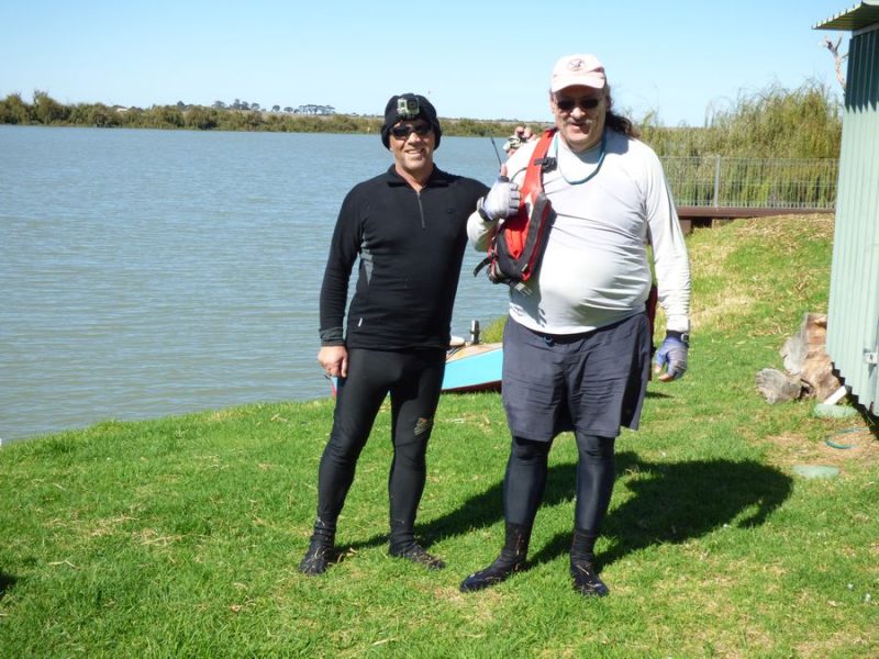
Brad was just sitting down having a bite to eat and relaxing.
When we got back on the water for the 6km into Murray Bridge the wind had picked up somewhat – and it was a hard slog into the 20-25km/h headwind.

Just before the road and rail bridge’s at Murray Bridge we were able to move over close to the shore and get a bit of protection from the wind. We took a quick break at Sturt Park in Murray Bridge and as we left we were among 4 dragon boats – which were there for the Masters Games.

In just a few km we were heading under our last bridge for this trip down the river – the Swanport Bridge which is the freeway and bypass of the Murray Bridge town.
We took a quick stretch just past here before the final 8km down to our planned destination of the day. This was a tough leg! We came around a sweeping bend and had no protection from the wind, which had whipped up even stronger – we were pushing into a 25-35km/h wind for about 4km and it was slow and tough going!
Finally, we were able to get a bit of protection close to the willows for the last few km’s.

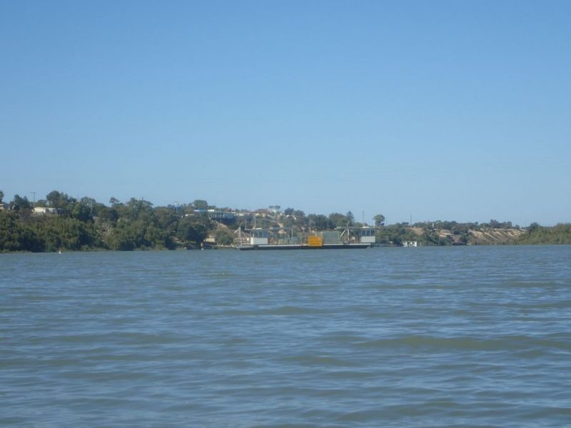
With some houseboats in sight we knew we only had a little way to go until we arrived at the River Glen Marina and our land crew.
With the day now over, and 41km on the GPS, we called it a day just before 3pm. We again saw a gradual change with the lower cliffs, much wider river and a couple of sections where we worked hard paddling into really tough headwinds. This leaves us a short day as our final day on the journey.